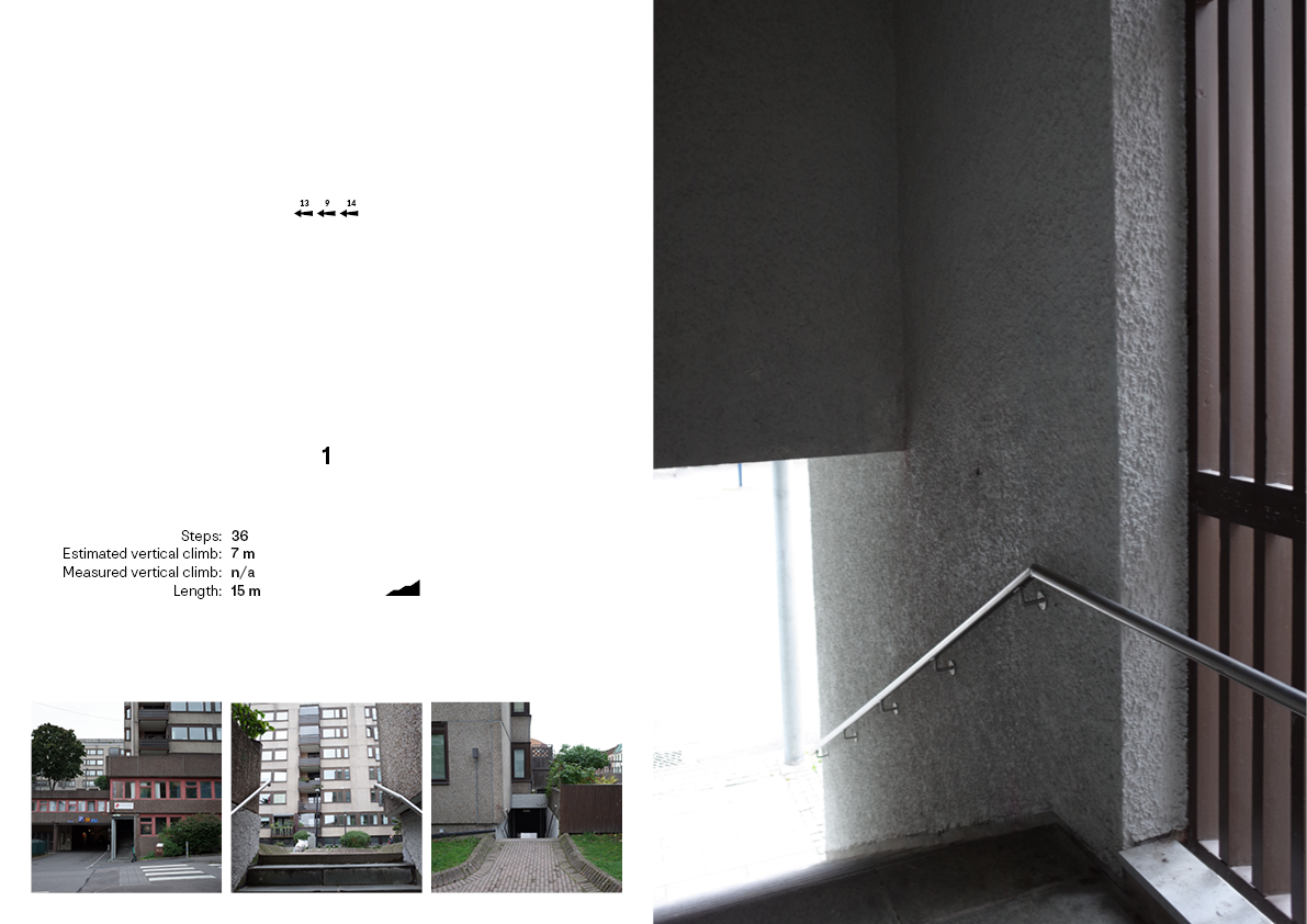
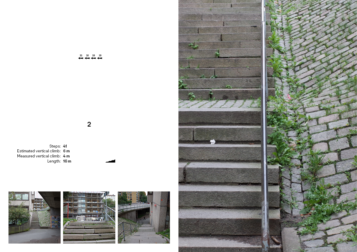
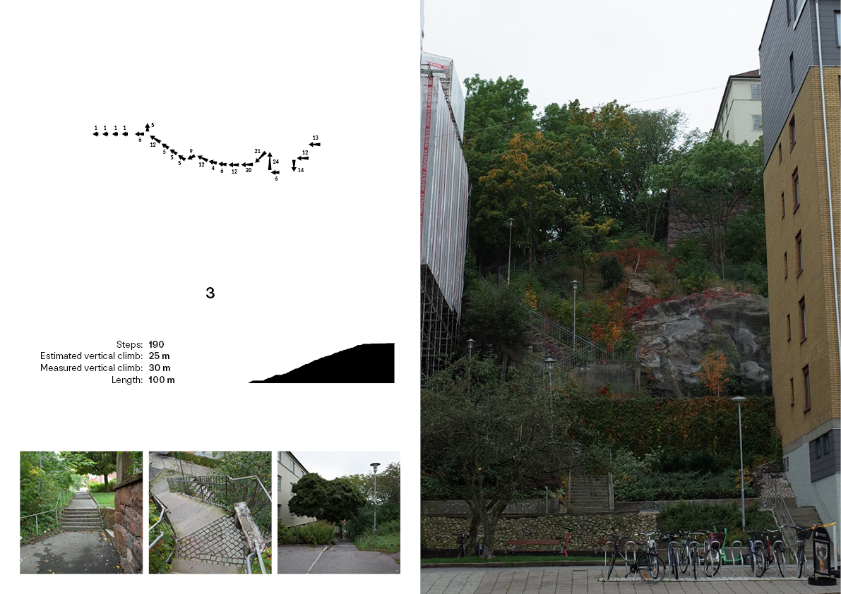
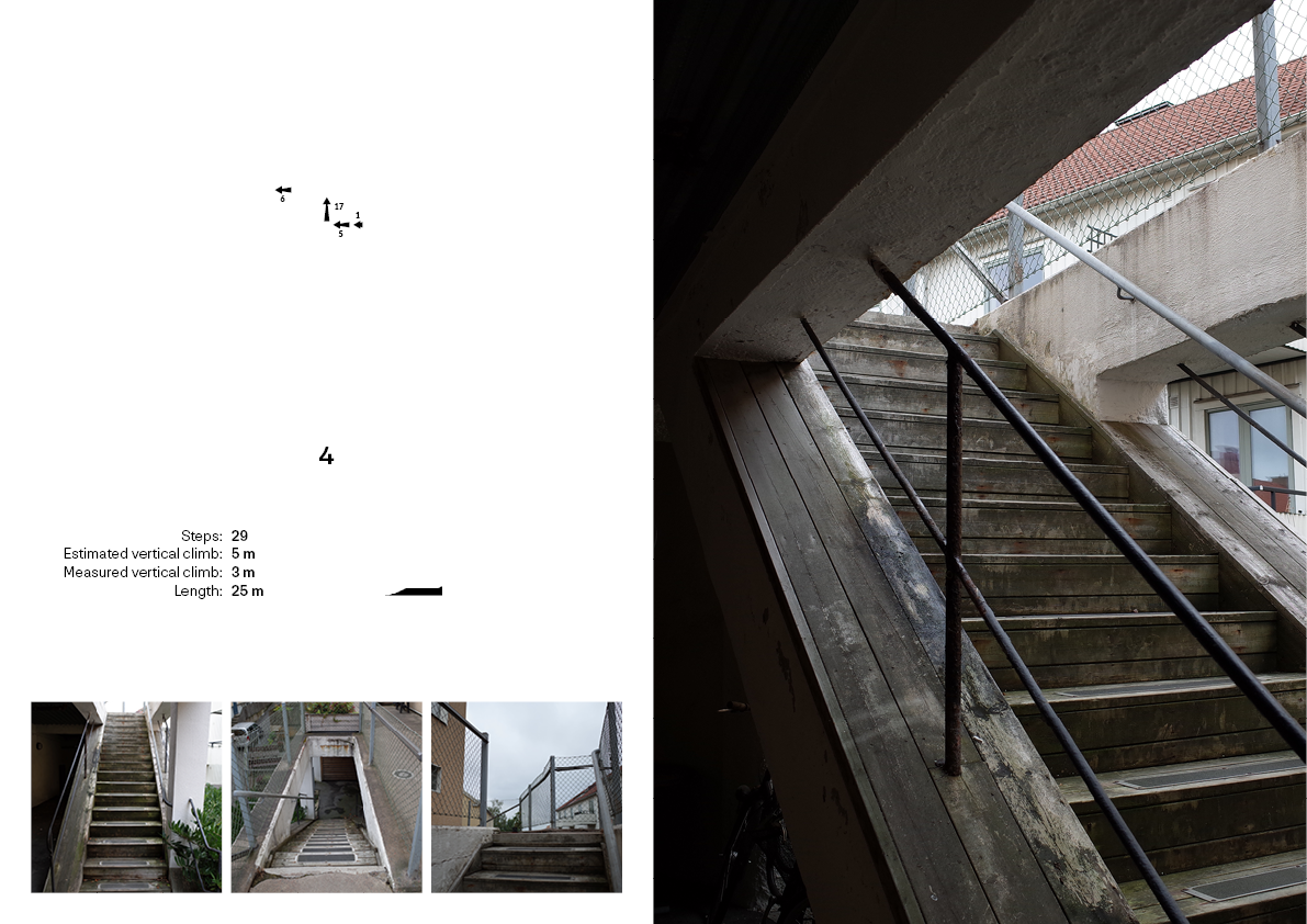
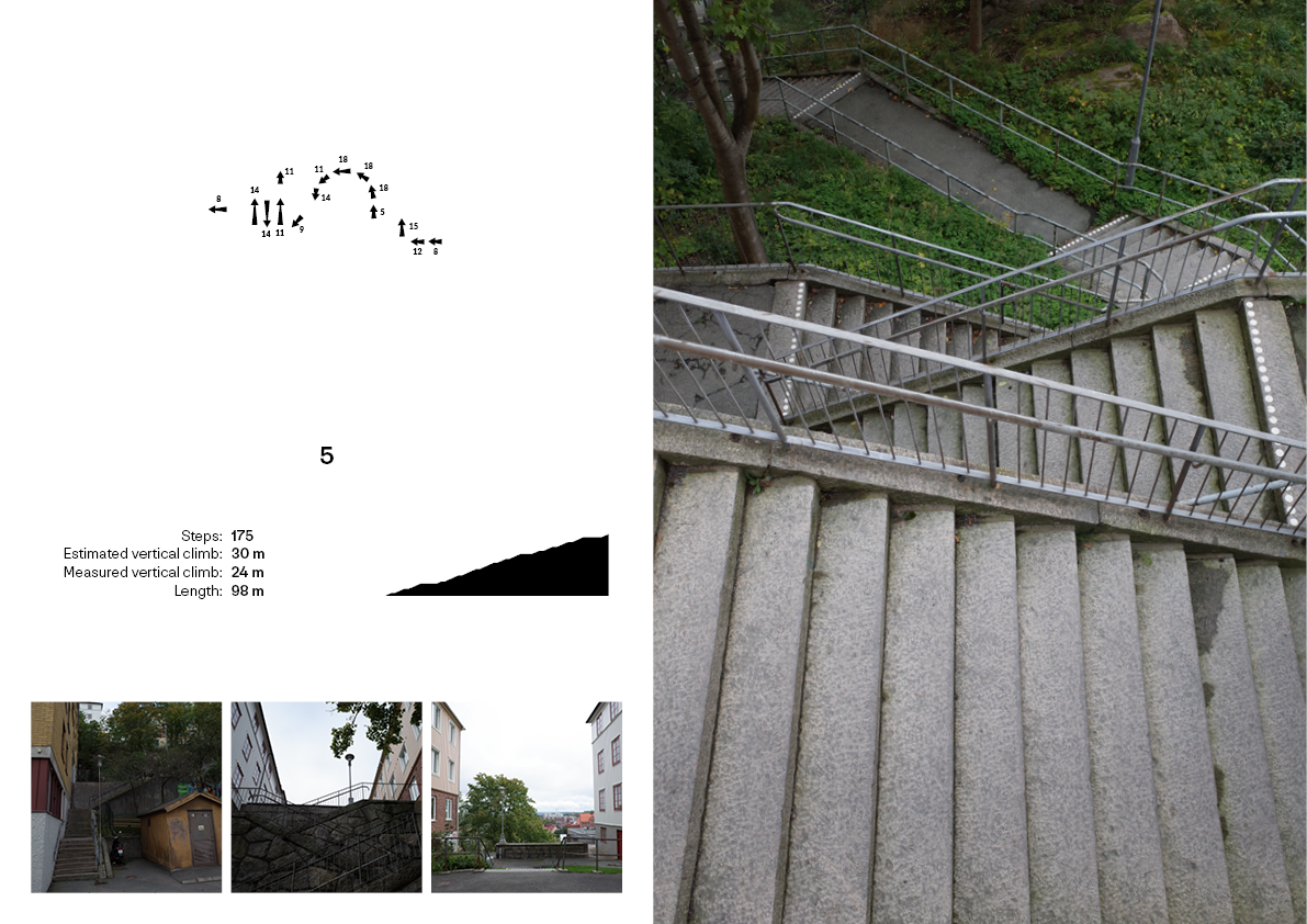
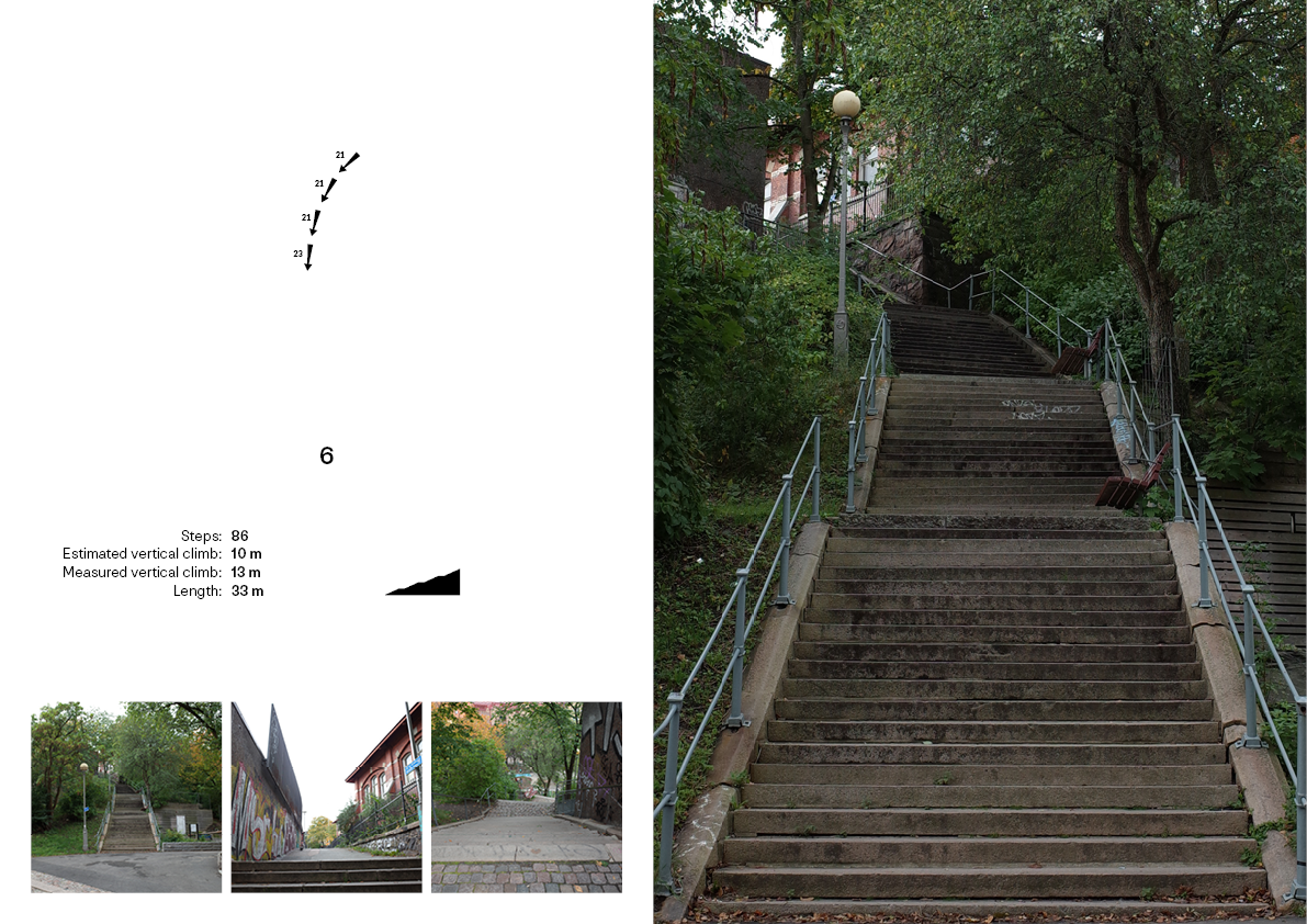
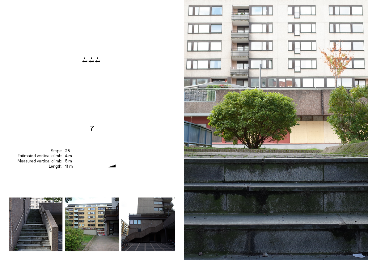
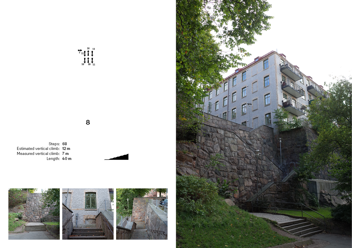
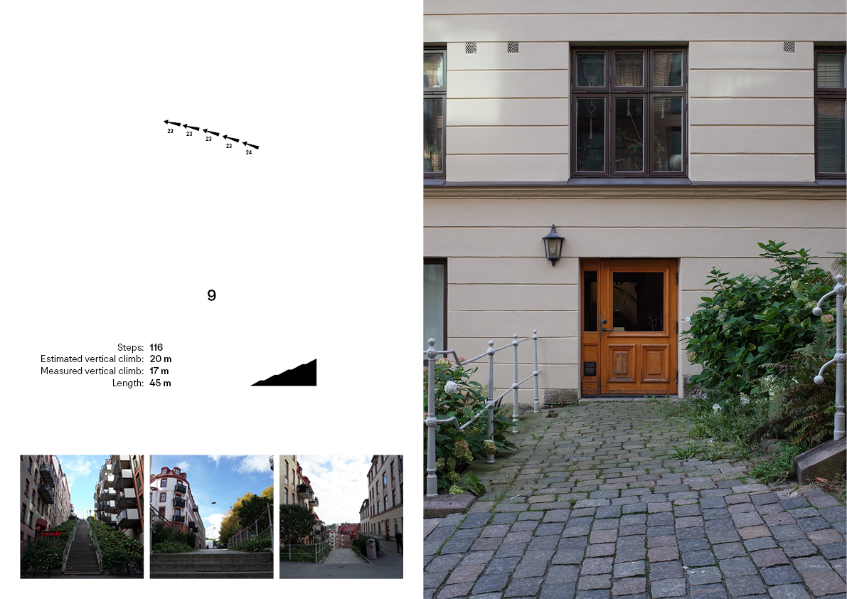
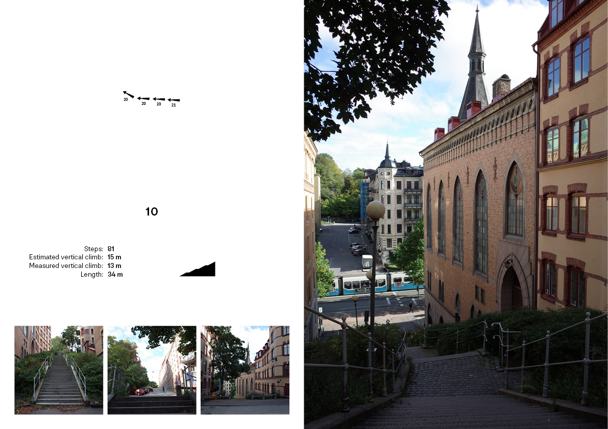
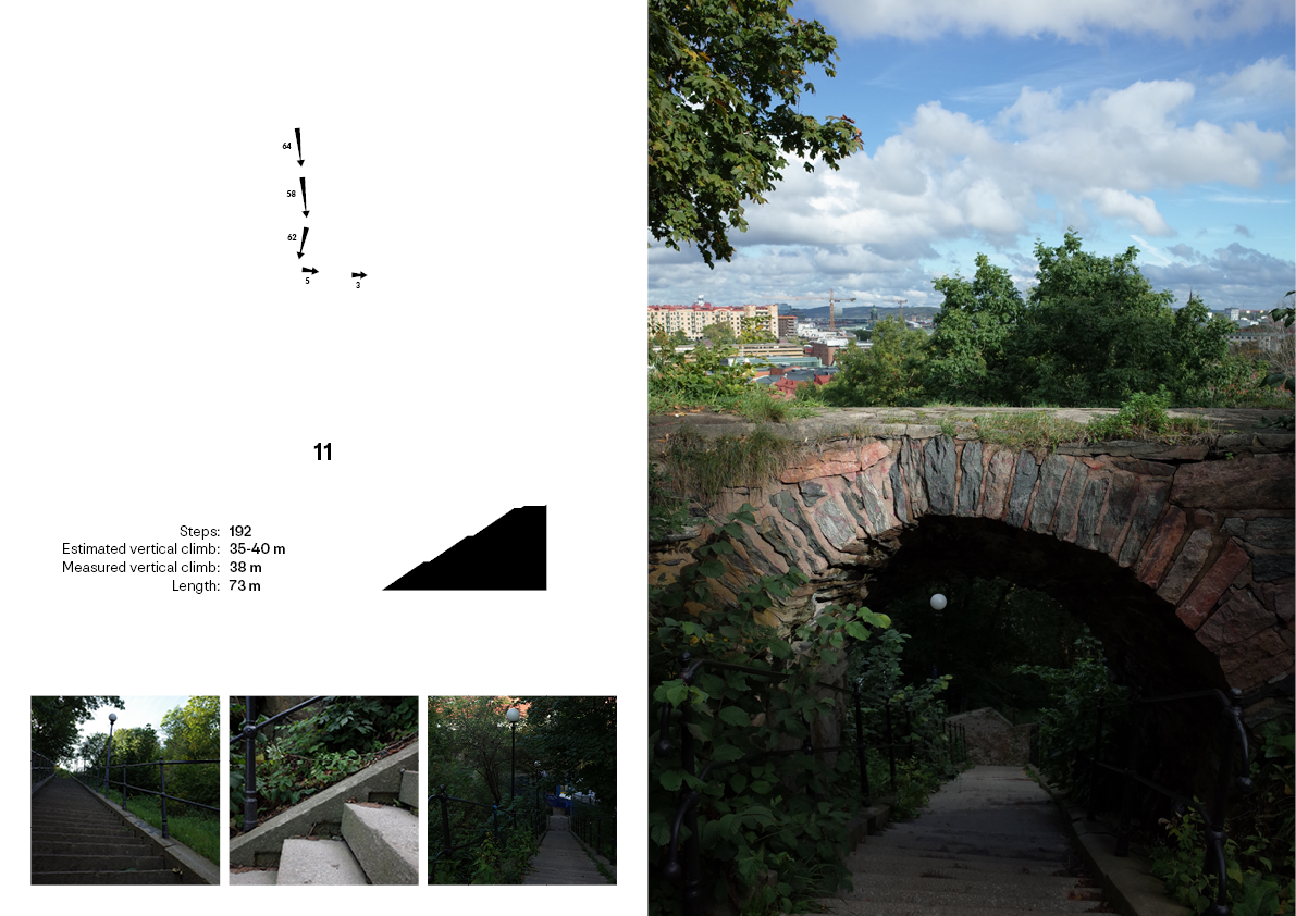
Mapping stairs
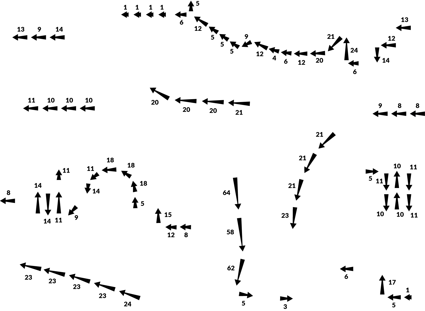
To approach a more spatial and physical mapping of vertical relations, I identified stairs as a universal common urban element linking different altitudes. I hence mapped a series of urban stairs by counting steps, measure climbs and lengths, noting division and lay out and taking photos not just in a documenting way but also to try to represent my qualitative understanding of each stair.