Drone Photogrammetry
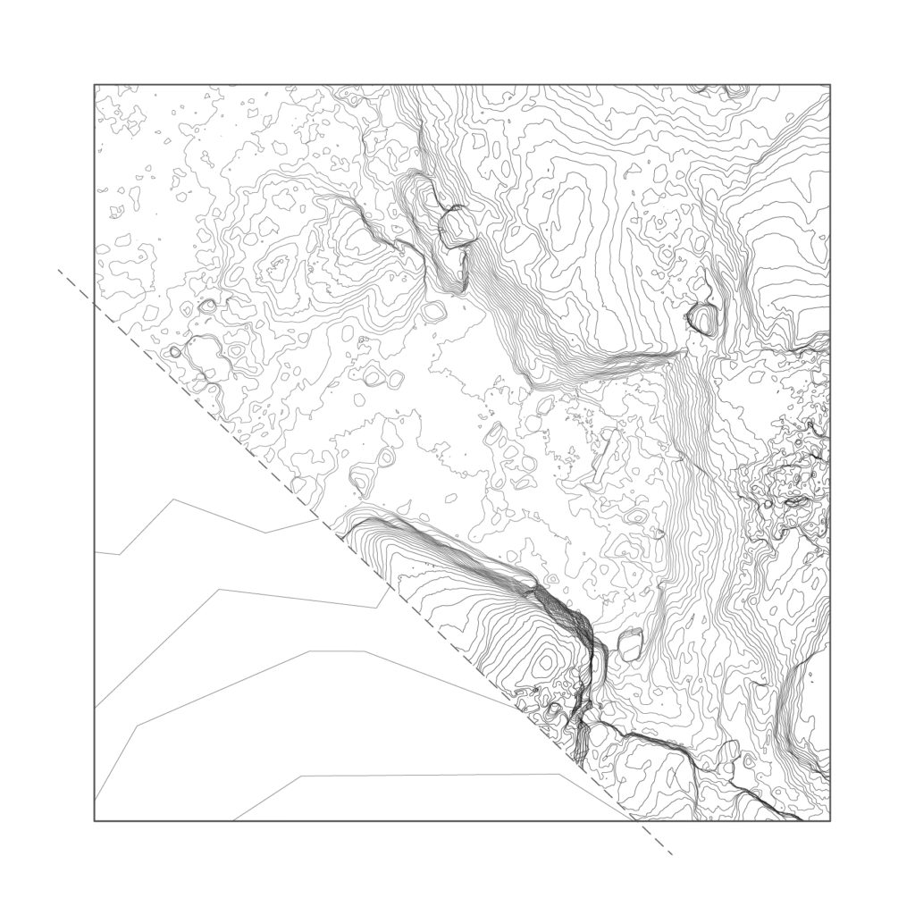
Comparison of general 2 m height curves to
achieved photogrammetry in 0.1 m height curves.
The interval can be alternated to fit varying scales.
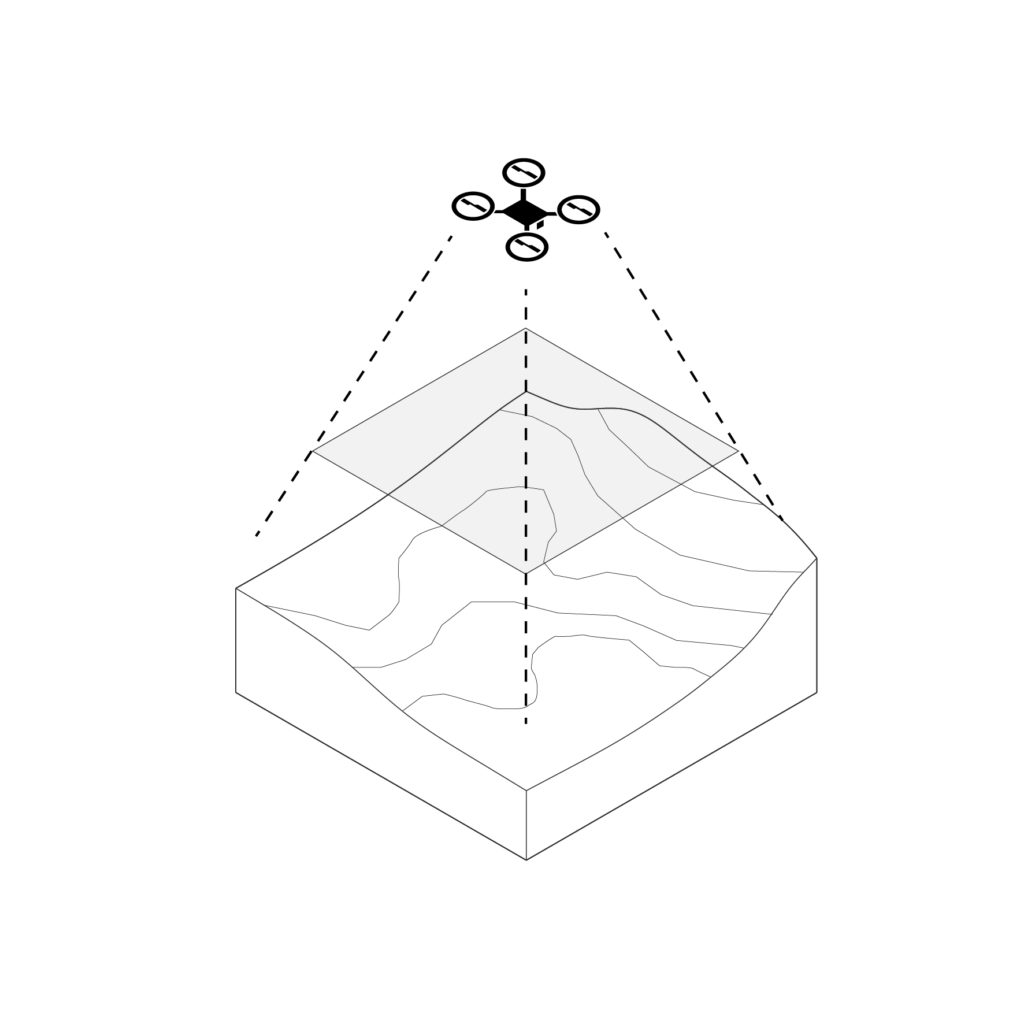
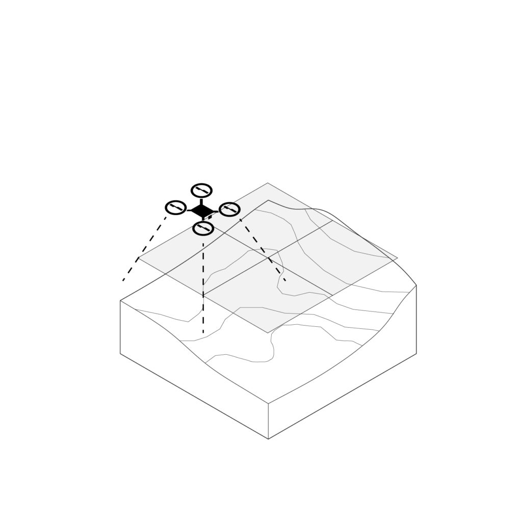
Capture of landscapes
With the architectural practice being based around 3D modeling, it is relevant to search for a better representation of landscape models than what is commonly found today.
The technique of drones and photogrammetry makes it possible to capture a site with high accuracy of the topography and its actual texture. The drone captures geotagged photos of the site with a 70% overlap, and with the help of photogrammetry software, the photos are puzzled together in space to reproduce a 3D model. Depending on the size of the site and the altitude of the drone, different scales of resolution can be produced, although the result overall exceeds the accuracy of general height curves. The technique has been tested and used in the following designs.
Amanda Eliasson
amaelia@student.chalmers.se