Mapping methods
Walking
The mapping methods took inspiration of the thoughts on
”walkscapes” from Careri (2002) by appreciating the significance of walking through a landscape as a way to enable critical thinking and subjective, autonomous interpretation and understanding of a physical place. I walked through my site at least a dozen of times, which in combination with documentation tools such as photography, sketches, and writing revealed layers of understanding in my reflection after/during these walks.
Directed dérive
The notion of ”walking as an artistic practice” was agreeing well with the second mapping method I used to understand the site. This was ”directed dérivé” (Östlund, 2017), a variation of the ”dérive” which means “drift”, or “attempting to derive a deeper understanding of a place” by following every impulse of your senses to guide you through a place (Sadler, 1998). In directed dérive you are intended to do this as well, but based upon certain pre-decided factors that you are to react to, and let the impulses from these reactions be your guide (Östlund, 2017).
Documentation tools
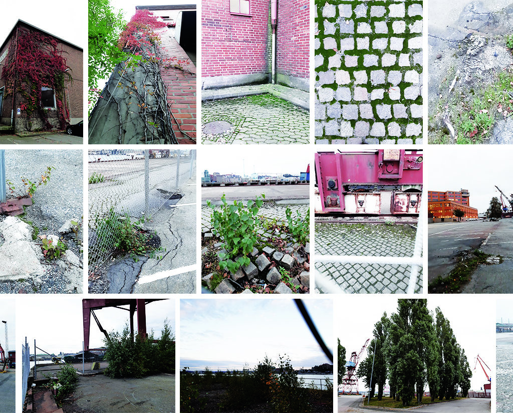
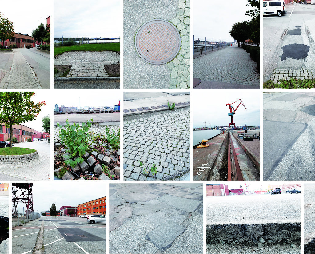
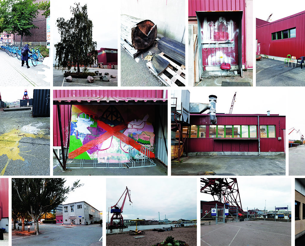
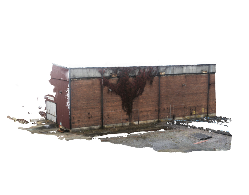
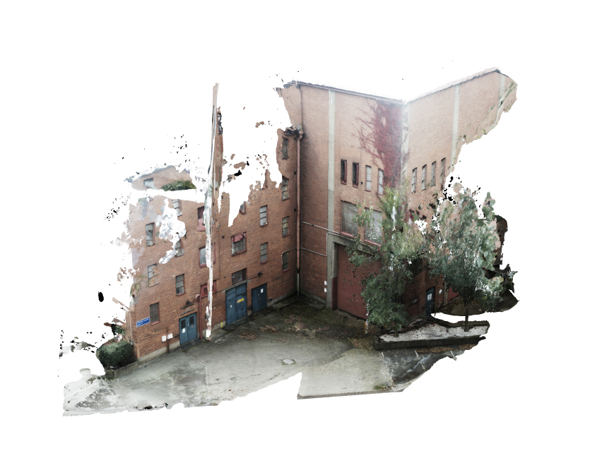
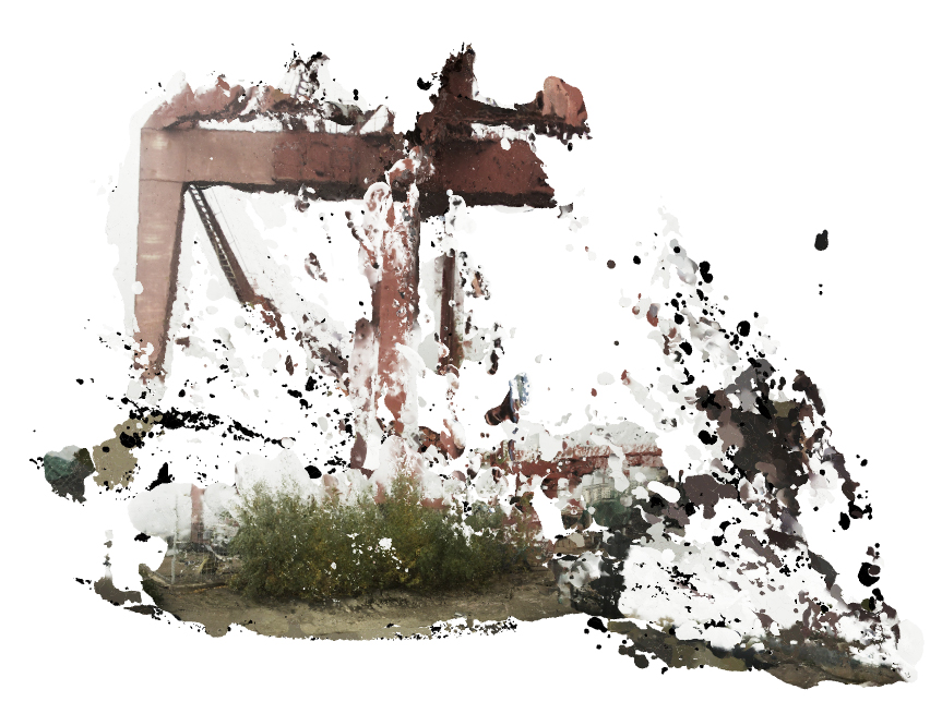
Photography and photogrammetry were mainly used for site documentation, which also conveyed the criteria of the directed dérive:
- Signs of abandonment
- Presence of natural life
- Traces of human activity
- Movements
- Historic traces
- Meetings between materials
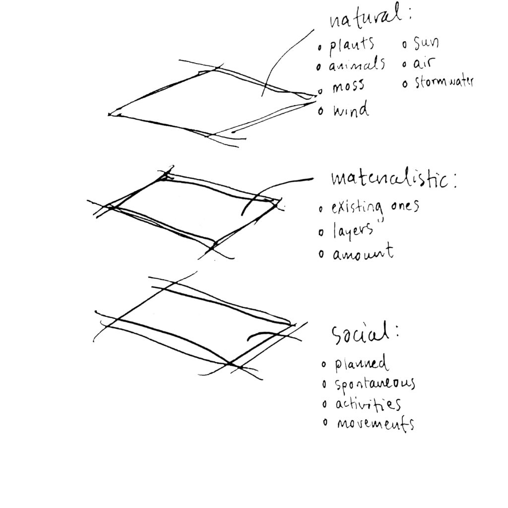
Evaluating documentation material
During the assessment of the documentation I noticed that the impressions from the walks could be categorized into three layers of the site based on what the photographs contained: natural, material, and social traces, as explained in the above sketch.