For this course has been on selecting a site and then selectively mapping these sites, bringing them to the material world. The site chosen is Kullaberg, a peninsula in northwestern Skåne. The peninsula has been visited a lot by my family and myself in my youth. It is a natural reserve, quite stripped on human activity, due to the harsh conditions. This also means that there is not a lot of site material to gather from the municipality. Its remoteness has possibly also led to the many folktales that have arisen at Kullaberg. In my mapping studies the mission has been to in a way de-dramatize these locations and make them easier to grasp and work with. Essentially providing material that cannot be obtained in other ways.
Course questions
- How can the possible sites be mapped and represented?
- Do you in a way exhaust the place of its ”soul” through mapping it?
Methods
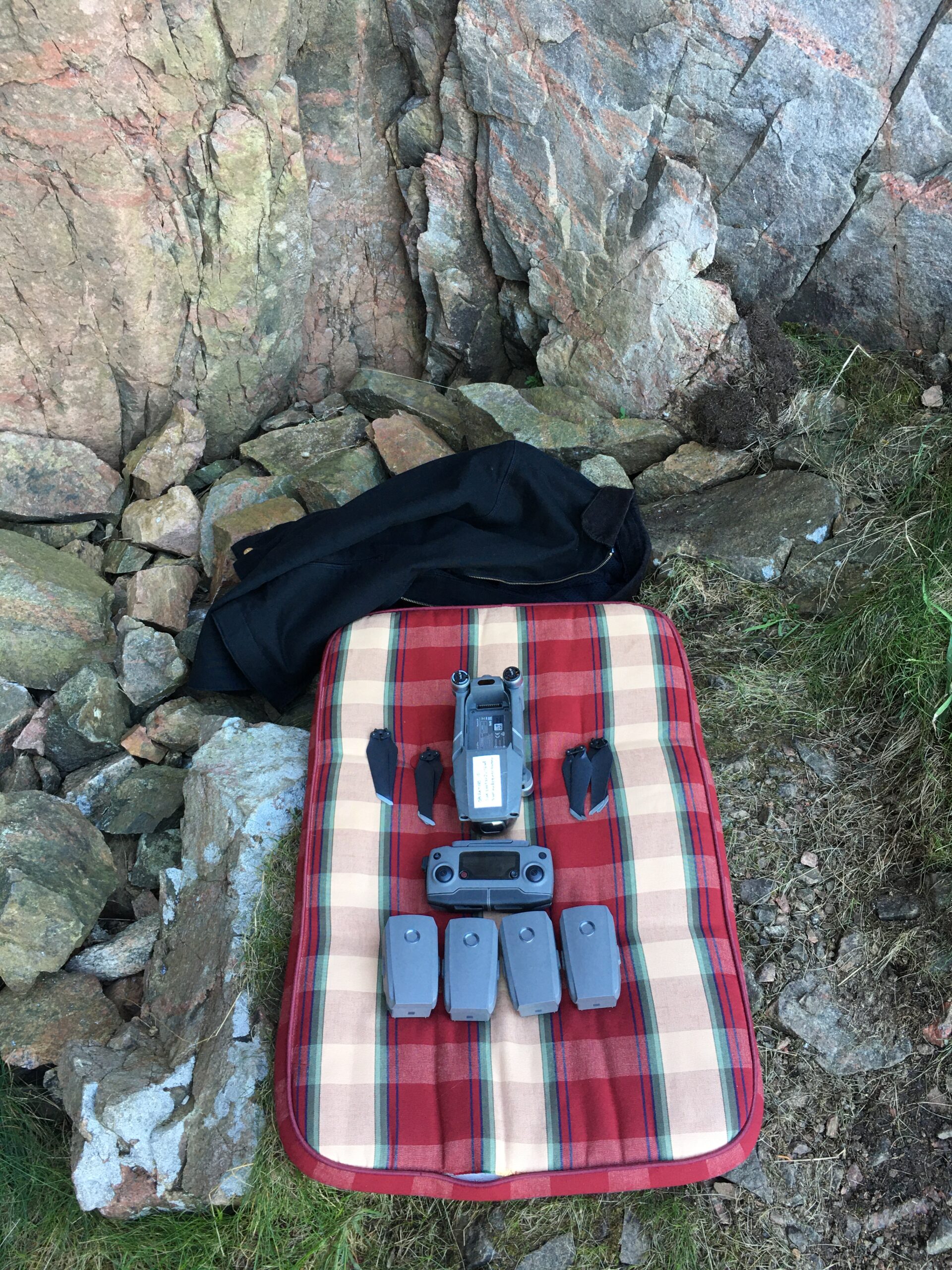
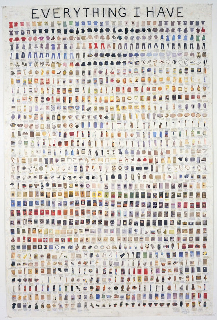
The methods used will mostly revolve around the mapping and field studies. These mappings will vary according to the the different monuments. For the forest monuments, I will do an inventory of 10x10m in the forest, tracing and writing down everything I find. These inventories will then be compiled to a map and the inventory list will be compiled and made visbile. For the sea monuments, drone photogrammetry will be used, in order to get detailed 3D models as a base for the design. These 3D models will then be sliced and made into physcial models, that represented the places I have scanned. These physical might then be used later on as ways to test the prototypes of the monuments as well as getting an overview of the sites.