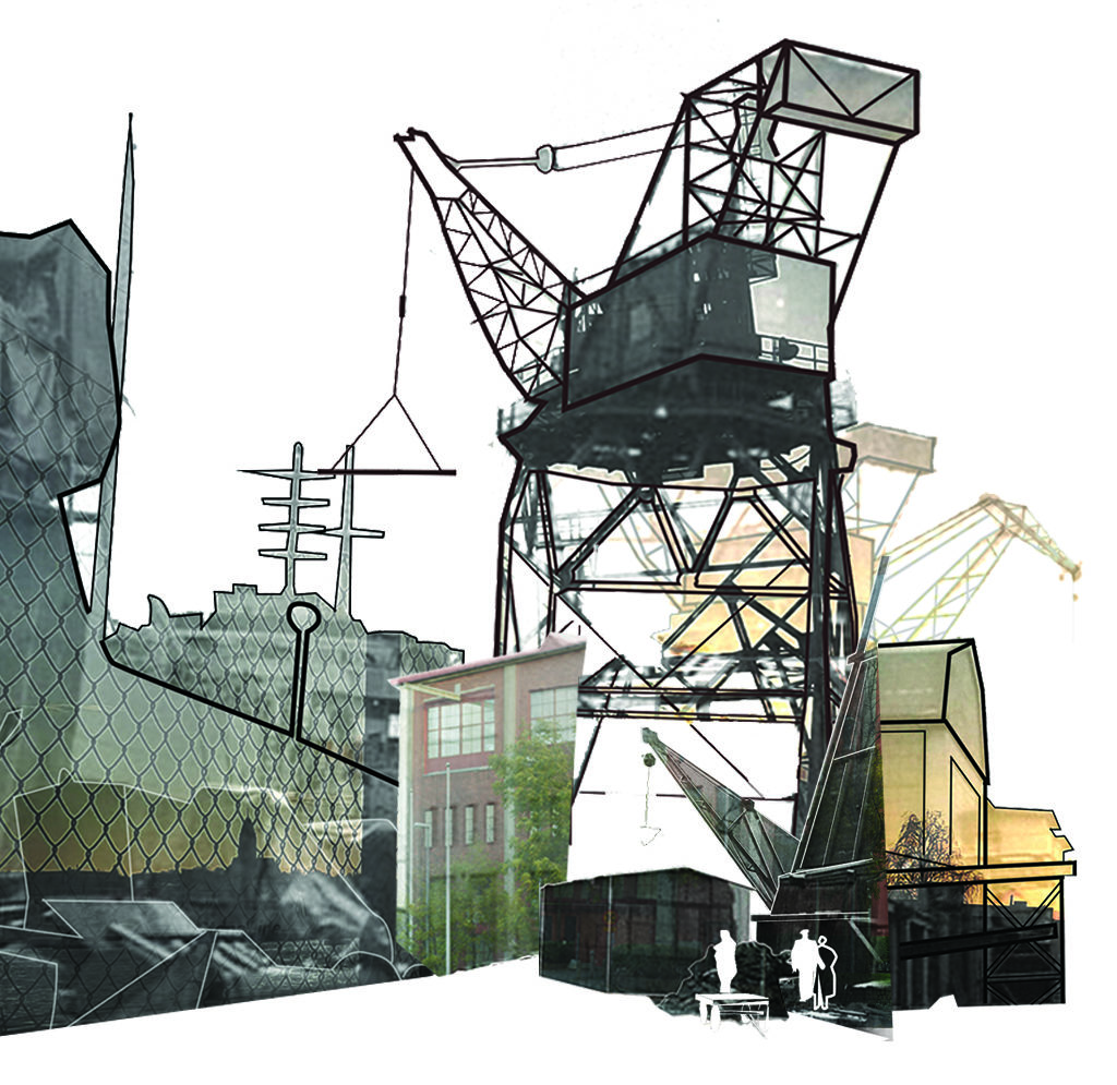
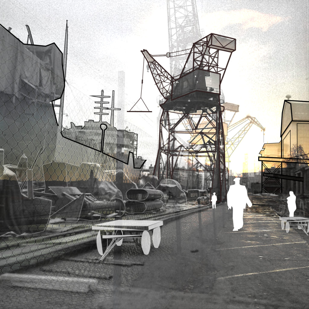
Past vs Present
The map and following photo studies was the result of experimental editing as I explored composite drawing technique. As I layered visual information in certain ways, I realised how the narrative of the past became more intriguing and easy to grasp when an old ortophoto and a present map was overlaid and aligned. You could see the exact changes of specific spots and see how the buildings, roads and waterfront was related to each other.
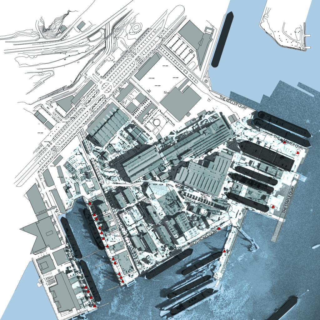
Broström’s quay 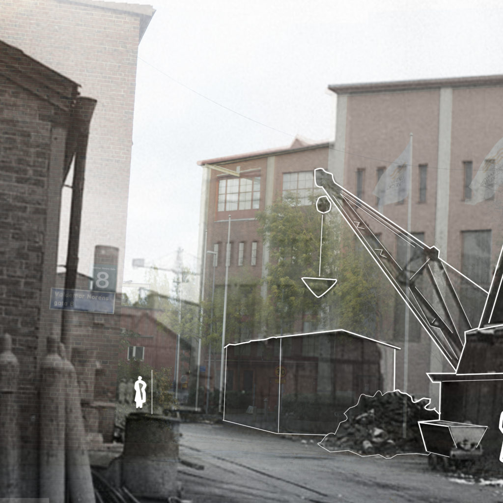
Valdemar Norén’s street 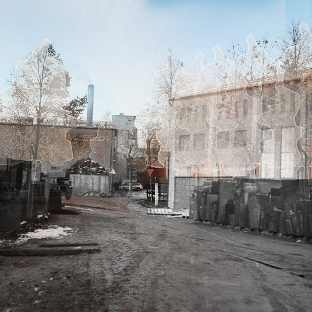
Anders Carlsson’s street